Franschhoek is a town in South Africa’s Western Cape with centuries-old vineyards and Cape Dutch architecture. Trails wind through flowers and wildlife at Mont Rochelle Nature Reserve to views over Franschhoek Valley. The Huguenot Memorial Museum and neighboring monument honor the area’s French settlers, who arrived in the 17th and 18th centuries. Franschhoek Motor Museum displays vintage cars amid mountain farmland.
Category Archives: photo
Table Mountain, Cape Town
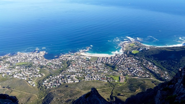
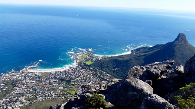
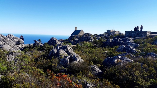
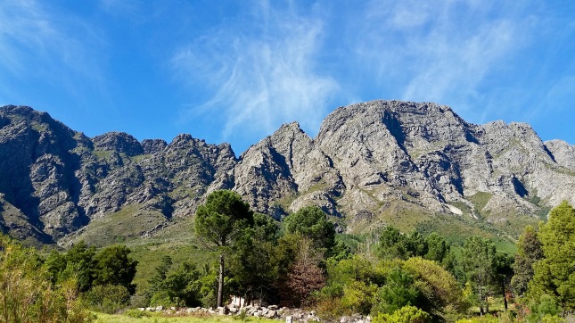
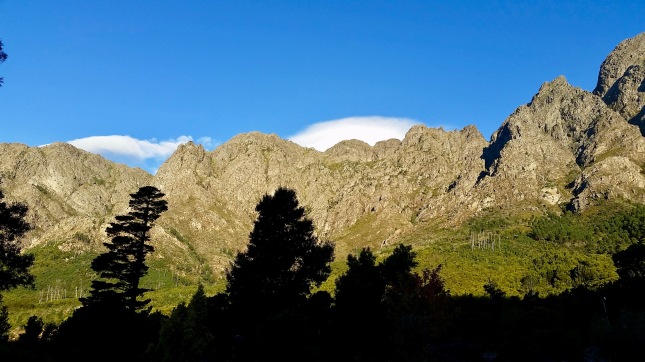
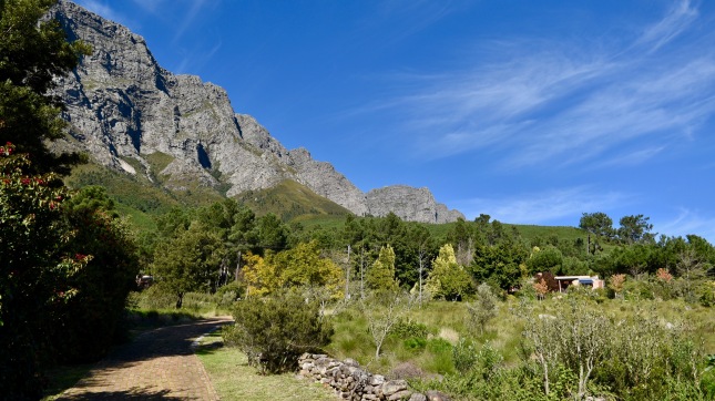
South Africa’s most famous landmark, Table Mountain, is more than just a pile of rock in the bay. A protected national park, it has some remarkable features that make it a great destination for nature-lovers, deserving of more than just a quick cable car ride to see the view from the top.
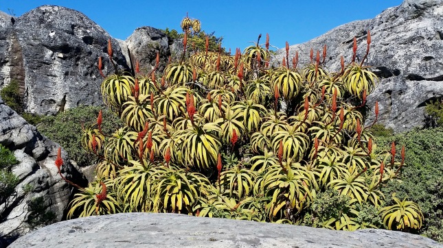
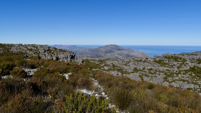
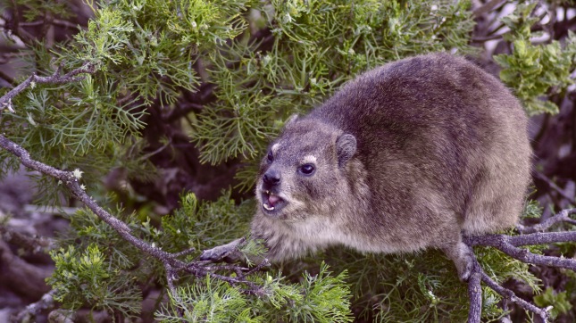
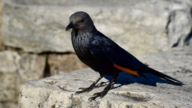
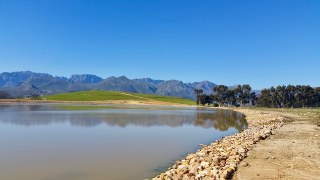
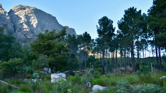
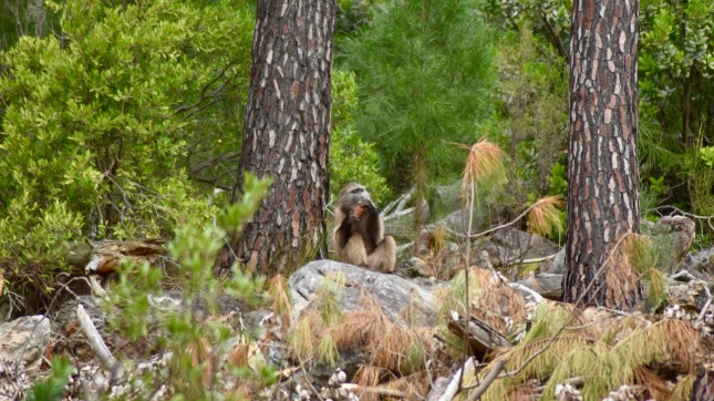
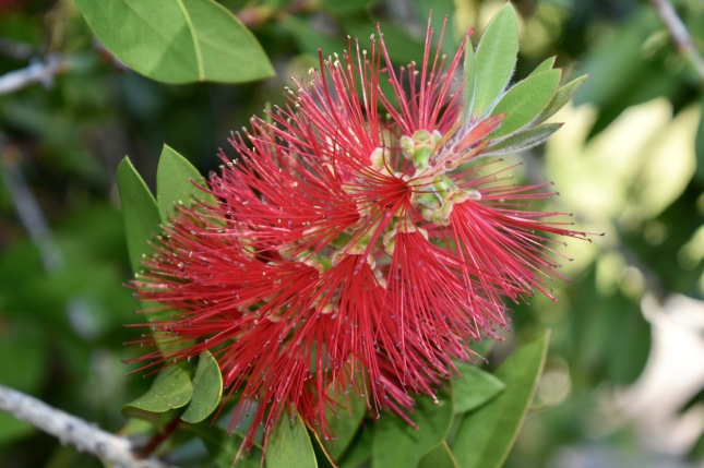
The mountain forms part of Table Mountain National Park, which is globally recognised for its biodiversity, and contains truly unique fauna and flora. The park encompasses the Table Mountain chain stretching from Signal Hill in the north to Cape Point in the south and the seas and coastline of the peninsula.
It is primarily an open-access park with only a few points where conservation fees are payable including Cape Point, Boulders (where you’ll see penguins), the Kirstenbosch National Botanical Garden and Silvermine.
The Table Mountain Aerial Cableway was the solution to the arduous walk and climb to the top. Since its opening in 1929, more than 22 million people have taken the trip to the top of Table Mountain. The new cableway was upgraded and officially reopened on 4 October 1997.
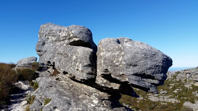
At the upper cable station you will find a restaurant and a curio shop as well as a network of footpaths to explore the table top.
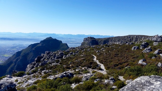
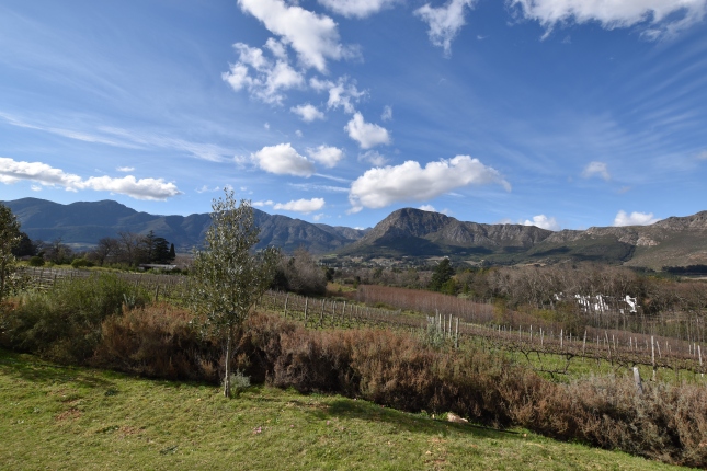
There are plenty of hiking trails from the Camps Bay side of the mountain, as well as from the Kirstenbosch National Botanical Garden, and even from the city centre itself.
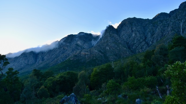
You can walk or climb the mountain, or even abseil down it, depending on your expertise and fitness levels, but be warned. Although the mountain may look tame on any given day, each year it claims lives as people set off under-prepared for a sudden change in weather. Always hike in a group and carry water and warm clothing with you. Better still, hire a guide or ask an experienced hiker to take you along.
Wallis Bay,Namibia
Walvis Bay (Walvisbaai) lies some 30 kilometres south of Swakopmund, accessed (if you happen to approach from the north) on a stunning ocean road seamed by mighty dunes. The town is situated at a wide lagoon with innumerable sea birds, pelicans and flamingos. On a clear day one can see the black-and-white lighthouse at the tip of the premontary at the northwest of the lagoon.
Walvis Bay had already been discovered by Diaz as early as 1487, but was founded only in 1793 by the Cape Dutch and two years later annexed by the British. In 1910, Walvis Bay became – like the entire Cape Colony – part of the South African Union. After Namibia’s independence, the only deep sea port on the Namibian coast remained under South African rule and only in 1994, the former South African president F.W. de Klerk gave it back to Namibia.
Today, Walvis Bay has about 50,000 residents and is a busy harbour town. Most people are employed at the modern harbour terminal and in the booming fish industry. Another production branch is the processing of sea salt. The salt fields of Walvis Bay cover an area of 3500 hectares and annually produce 400,000 tons of high quality salt.
sandwich harbour
The lagoon is the scenic feature of Walvis Bay. It is one of the most important wetlands of southern Africa and is the hibernation area for thousands of migratory birds. Worth a visit in Walvis Bay is the local museum in the Civic Centre, the Birdlife Information Centre and the wooden Rhenish Mission Church from the year 1880. “Dune 7” near town is the highest sand dune of the area. Who climbs it, can enjoy a wonderful view.
A unique experience is the adventurous 48 km drive to Sandwich Harbour, a freshwater lagoon surrounded by dunes, and a favourite amongst anglers and ornithologists. A four-wheel drive is a necessity. The track is not in all parts easy to recognise. Some stretches go through soft sand, and the last bit one has to walk. You have to inquire about the tides. At high tide there is no way as the dunes just slope down steeply into the water.